

Back in August, I got a Tempest Weather Station. I had been wanting a weather station for some time.
Why? Well, that is hard to put into words. I guess the answer is that I really like technology, I am fascinated with self-hosting as much as possible, and I like collecting data and contributing data to something larger without having to pay a subscription.
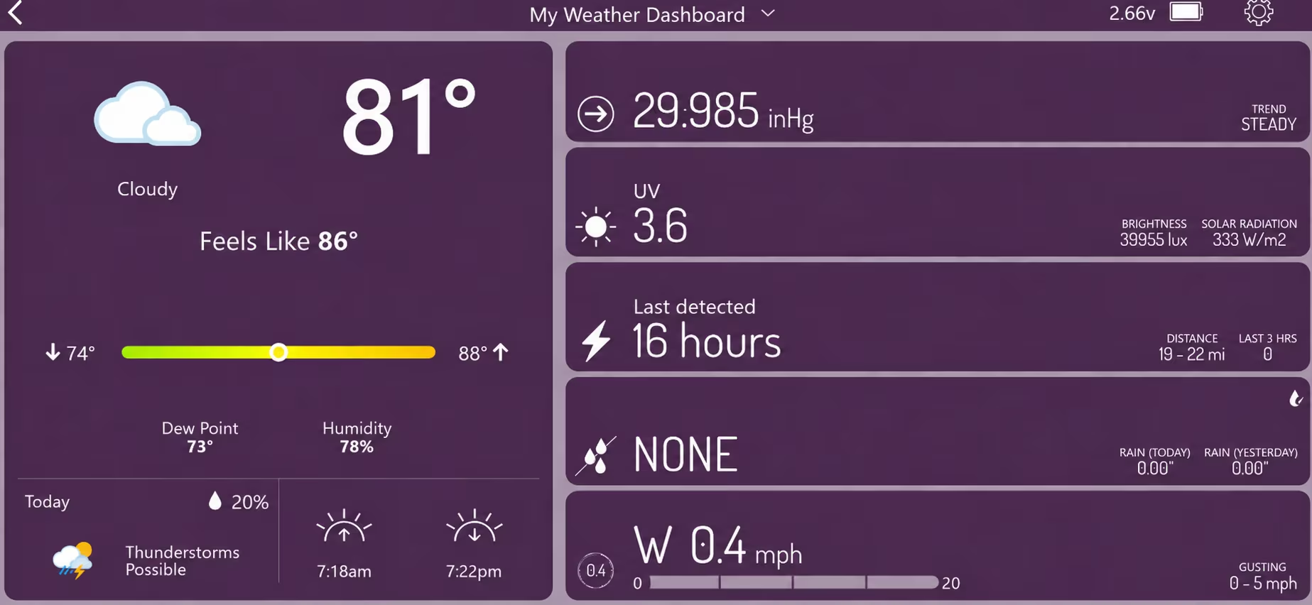
Anyway, I got this Tempest Weather Station for a great price during Prime Day. I put it up and integrated it into a Python weather program, while also using Tempest's own software.
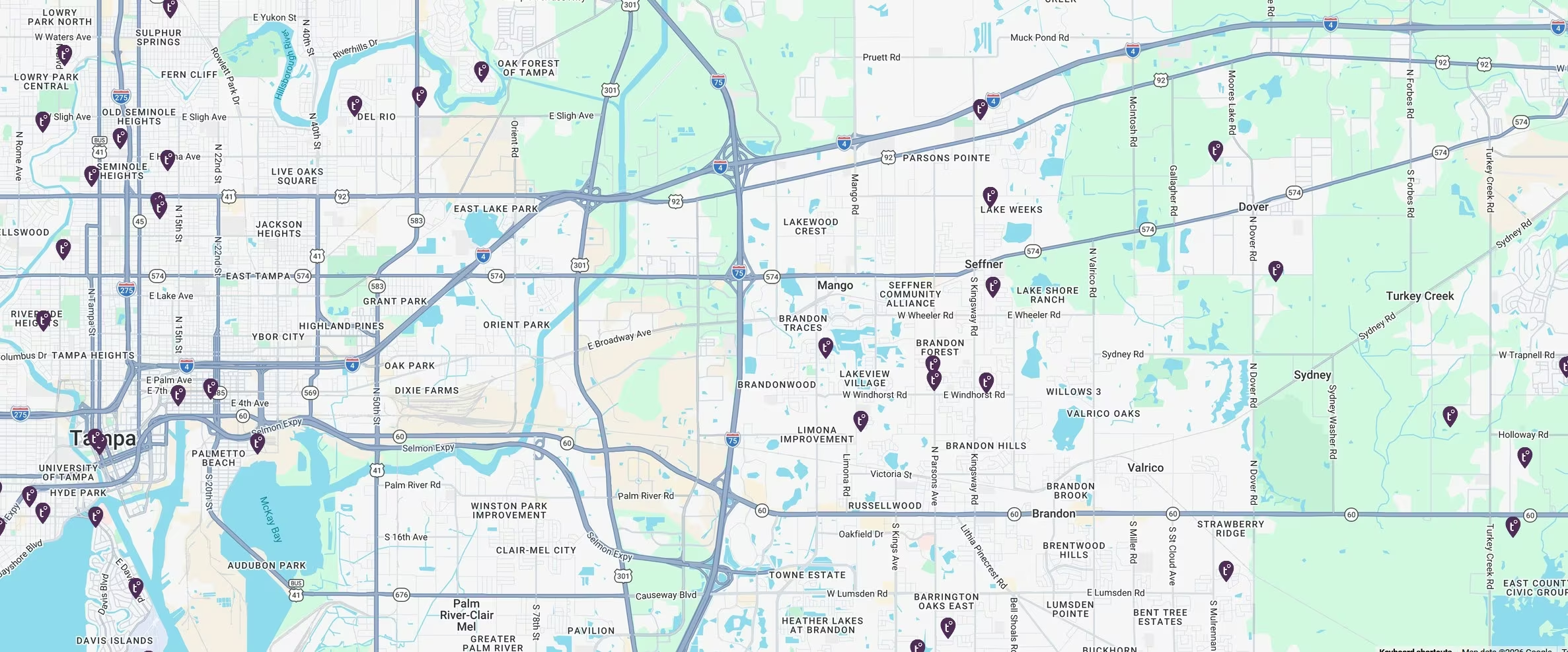
But there was something I didn't know, and probably should have checked. It wouldn't have changed my mind, but there are hundreds of these things around me.
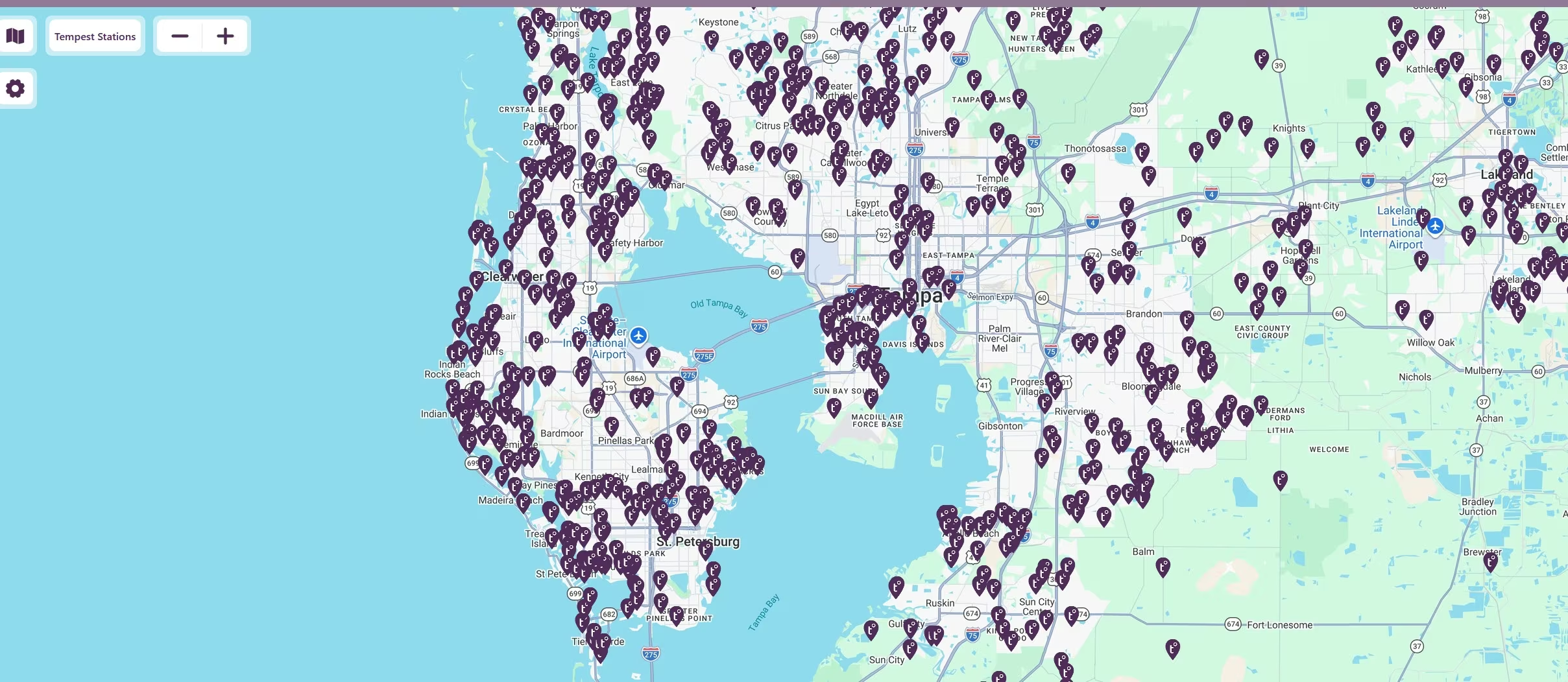
Zoom out a little, and there are even more throughout the Tampa Bay area.
Then look at the wider area.
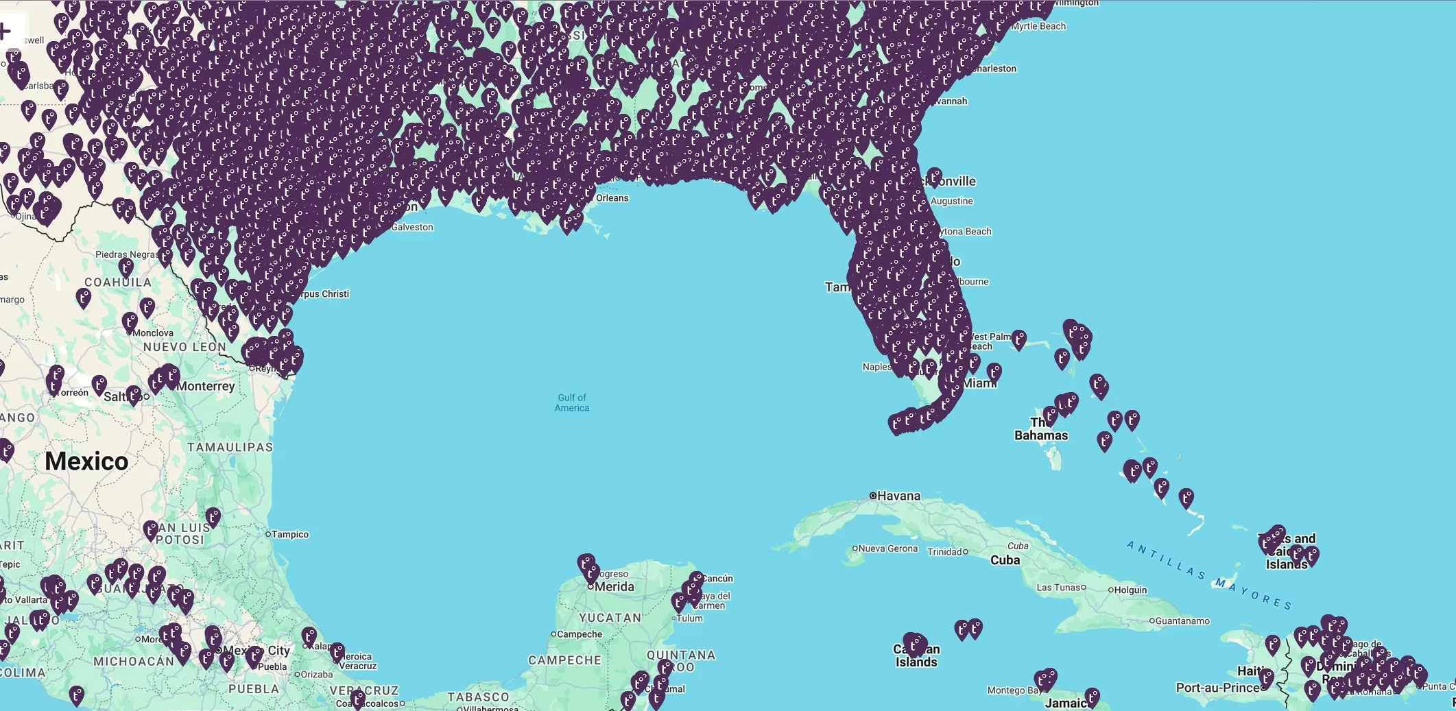
According to Tempest, this is a map of publicly reporting Tempest weather stations. So those pins represent actual stations whose owners have chosen to share their data publicly, although the location shown on the map may be moved slightly by the owner for privacy.
That makes the number of stations even more interesting to me. Tempest uses observations from its weather stations to help improve the current conditions and forecasts it provides to users. WeatherFlow also combines Tempest observations with data from many other public and private weather networks for its APIs and professional weather products.
So my little weather station isn't just collecting information for me. It is also one small part of a much larger weather-data network, which I find fascinating.
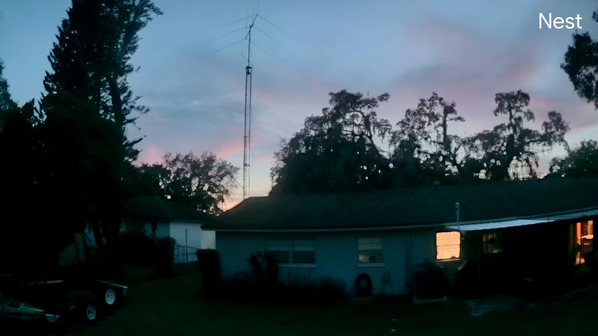
You can see mine below. This was captured one evening by my backyard Nest camera just after sunset. It actually caught a pretty nice sky, too.
In the coming months and years, I hope to do more with this system. For now, I just thought it was extremely interesting to discover that I am far from alone in combining an interest in weather with an interest in technology.
Comments
Post a Comment